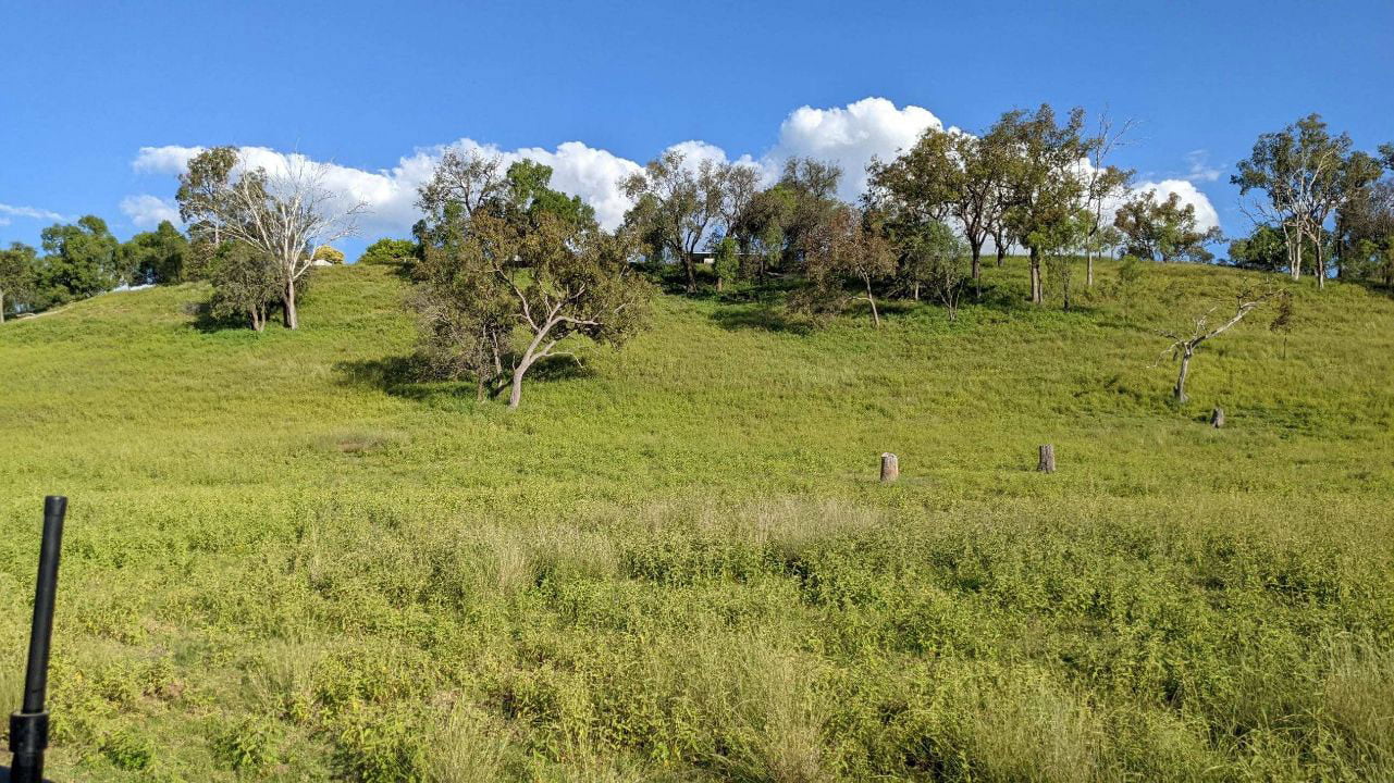
Traditional satellite imagery provides a valuable bird’s eye view of your farm, allowing you to identify broad patterns and trends. However, when it comes to making precise, data-driven decisions, traditional imagery has its limitations. That’s where hyperspectral imagery comes in.
Hyperspectral imagery goes beyond the visible spectrum, capturing data across hundreds of narrow spectral bands. This allows us to detect subtle variations in crop health, soil composition, and water content that are invisible to the naked eye.
Employing hyperspectral imagery via agricultural drones provides unparalleled insights into the chemical and biological properties of your land. This advanced approach empowers farmers to make smarter, more informed decisions throughout every stage of the growing cycle, enhancing the precision and effectiveness of agricultural practices.


